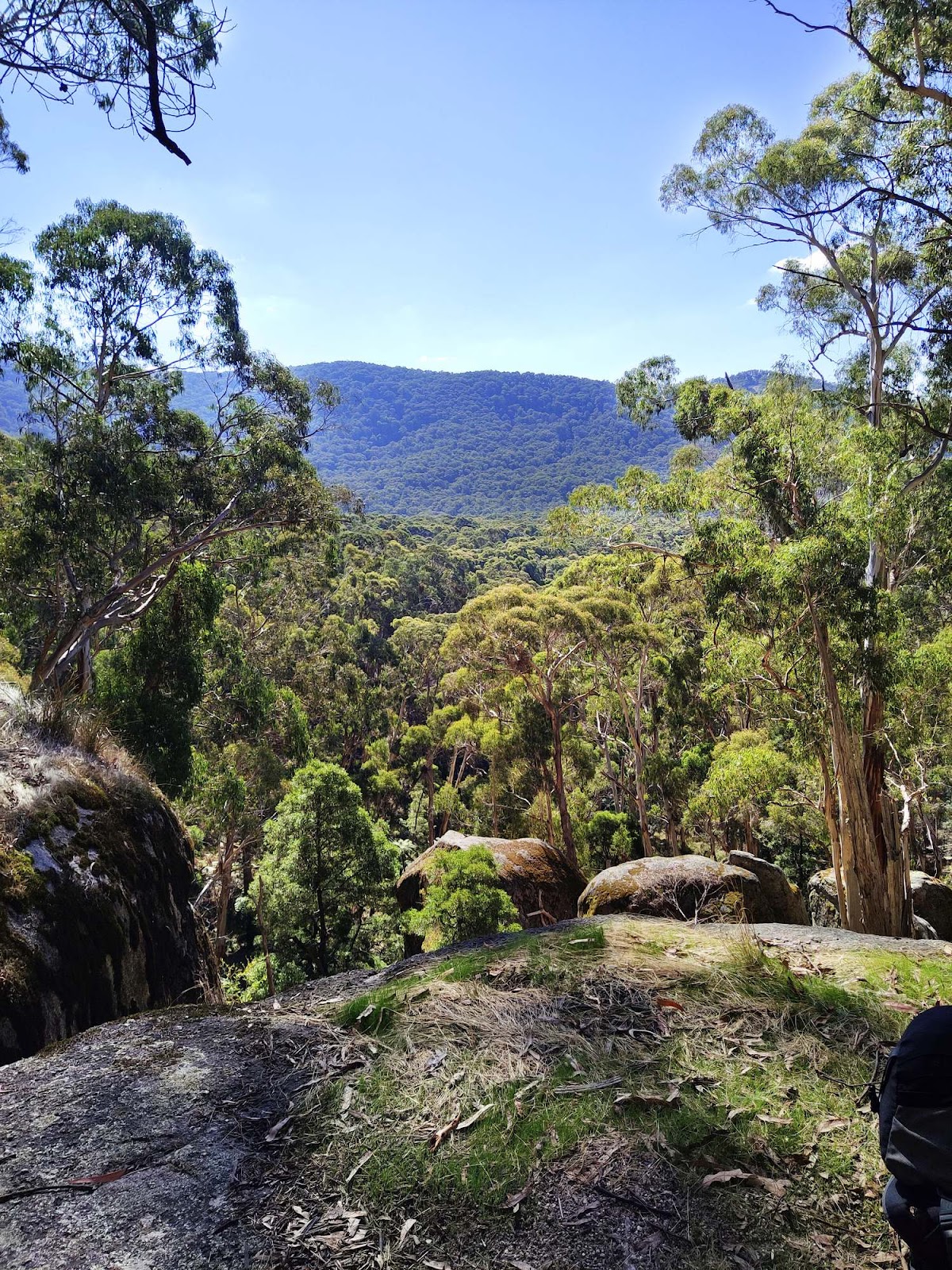
Mount Buangor State Park is located between Ararat and Beaufort and is accessed from the Western Highway (Route A8). The highest peak in the area Mount Buangor (Beereep) offers spectacular views of the surrounding countryside. Mount Buangor State Park is covered with an abundance of granite boulders and at its peak rises to nearly 1000 metres.

Mount Buangor is approximately 180km-210km from Melbourne CBD depending on the road trip you choose to take and takes approximately 2h 20m. There are plenty of alternative camping and picnic grounds in the park to commence the walks of your choice. When driving to Mount Buangor State Park a good place for a pitstop is Beaufort. It's the last coffee stop before arriving at the mountain.

You can choose between two opposite sides of the park to begin your walks. You can start on the Mount Buangor side where you drive up Ferntree Gully Road or alternatively take the Mount Cole Road to commence on the Mount Cole side of the park. Much depends on your choice of walk when deciding which side of Mount Buangor State Park to start from.

In general terms Mount Buangor State Park is notable for the generous spread of granite boulders on many of the walks. This differentiates the park from lots of the gold mining areas in Western Victoria that are just generally dusty, dry and without much tree cover.

Mount Buangor State Park is also host to a few waterfalls and Bukkertillible Cave so you have a choice on some of the sites that you may wish to walk to.

Bukkertillible Cave Walk
The Bukkertillible Cave Walk is a 3.2km return walk from Middle Creek Camping Area and takes approximately 1 hour 30 minutes to complete. It is relatively challenging due to having few flat areas so you are either climbing or descending on most of the walk. Of course the big reward on this walk is the nearly 100 metre wide Bukkertillible Cave and numerous granite boulders along the walk. Definitely recommended.

Waterfalls Nature Walk
The Waterfalls Nature Walk starts at the Ferntree Picnic Camping area and is 1km in length and takes approximately 45 minutes. The walk includes the small but beautiful Ferntree Falls and nice semi-forested areas. At only 45 minutes its definitely worth visiting and if you only want a waterfall photograph the Ferntree Falls are at the beginning of the walk about 5-10 minutes in.

Raglan Falls
You can get to Raglan Falls either from Middle Creek campground that is 11km and takes approximately 3h 30m or conversly you can begin at the Richards campground on the Mount Cole side of the park where the walk will take only 1hr return. Raglan Falls doesn't really offer a classic waterfall photograph so is best thought of as a nature walk beside a stream. You have a nice ambiant background sound of a trickling stream as you climb up to the viewing platform at Raglan Falls.

Location
The Middle Creek Camping Area at Mt Buangor State Park is approximately 180km-210km from Melbourne CBD depending on the road trip you choose to take and takes between 2 hours to 2h 30m.
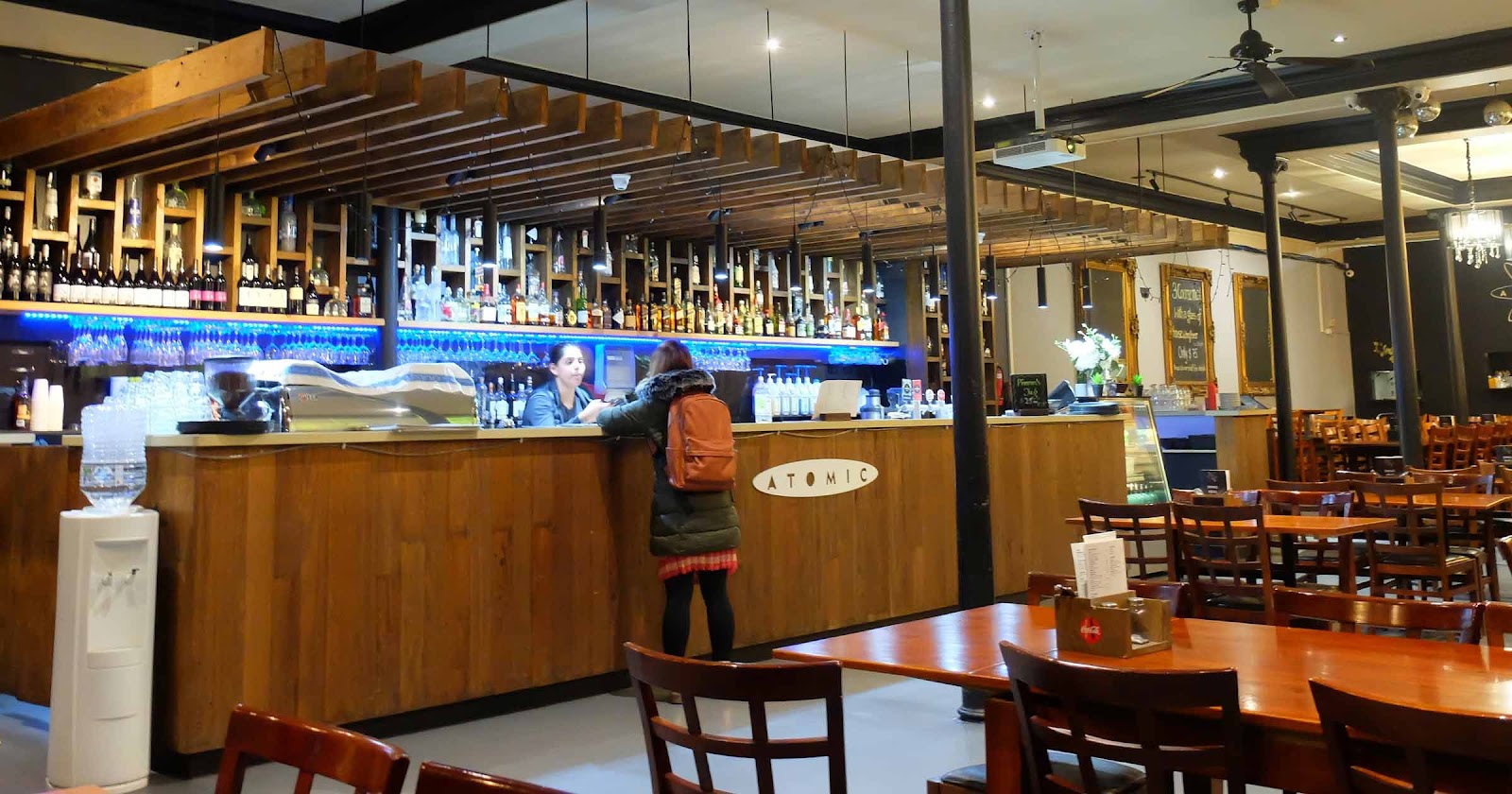
A good place for a final pitstop, refuel and coffee is at Beaufort just before you make it to Mt Buangor
Information from external websites
Disclaimer: West Melbourne and Beyond does not maintain or own the copyright to this information. Material maybe out of date. Use at your own discretion.
Walks in Mount Buangor State Park
You've made it to Mount Buangor State Park. Why not consider these nearby walks:


